LA EXPLAINED: THE LOS ANGELES RIVER
'laist' Explains the Los Angeles River
By Emily Guerin
Is it a river? A sewer? A flood control channel? A place to film awesome drag racing scenes? A tool of gentrifiers to raise property values? What's the deal with the L.A. River, and why should I care about it? Let's find out.
The L.A. River is shaped like a comma. It begins in the western San Fernando Valley at the foothills of the Simi Hills and the Santa Monica and Santa Susana Mountains. It flows east, curving around Griffith Park and passing beneath the foothills of the San Gabriel Mountains before flowing south all the way to Long Beach and the Pacific Ocean. In total, the river runs for 51 miles and passes through 17 cities.
Where Does The Water Come From?
Two main sources: rain and wastewater treatment plants.
When it rains up high in the mountains that ring the Los Angeles Basin, the water flows downhill, first in tiny rivulets, and then making its way into larger and larger creeks. The creeks flow into each other, becoming larger and more powerful. And eventually, they flow together to form the Los Angeles River.
But in the summer, when it doesn't rain in Los Angeles, the river doesn't just run dry. Instead, it's fed by wastewater discharged from three wastewater treatment plants in L.A., Burbank and Glendale. This water is typically cleaner than water that flows into the river from city streets and storm drains (more on this later).
If It Flows With Treated Wastewater Down A Concrete Channel, Is It Really A River?
I know it doesn't look like it anymore, but more than 80 years ago the river was, in fact, a legit river. Before Europeans arrived, the Gabrieleno-Tongva Mission Indians lived along the river. Tribal member Mark Acuna told KCET that back then, the L.A. Basin was lush, thick with "great reed forests so thick that Spanish talk about it would take days to cross through them."
The river was thick with steelhead trout, which are now endangered, and the forests were home to bears, mountain lions and deer.
The History
Wow, That Sounds Pretty Interesting. What Happened?
Europeans showed up. Spanish colonists founded the Pueblo of Los Angeles along the L.A. River in 1781, and it was the primary water source for the growing city until 1900. Over time, people built homes closer and closer to the river's banks--dangerously close, because the L.A. River can grow from a trickle to a raging torrent in just a few hours.
And that's exactly what it did in February 1938, after it rained more in a single day than it normally did in a year. The river surged beyond its banks. It took out bridges. It took out houses. It flooded Echo Park and Venice and surrounded Warner Brothers Studios like a moat. According to the L.A. Times, "so many Hollywood stars were stranded at their ranches in the Valley and elsewhere that the Academy Awards presentation scheduled at the downtown Biltmore Hotel was postponed for a week."
At least 96 people died, and more than 1,500 homes were destroyed.
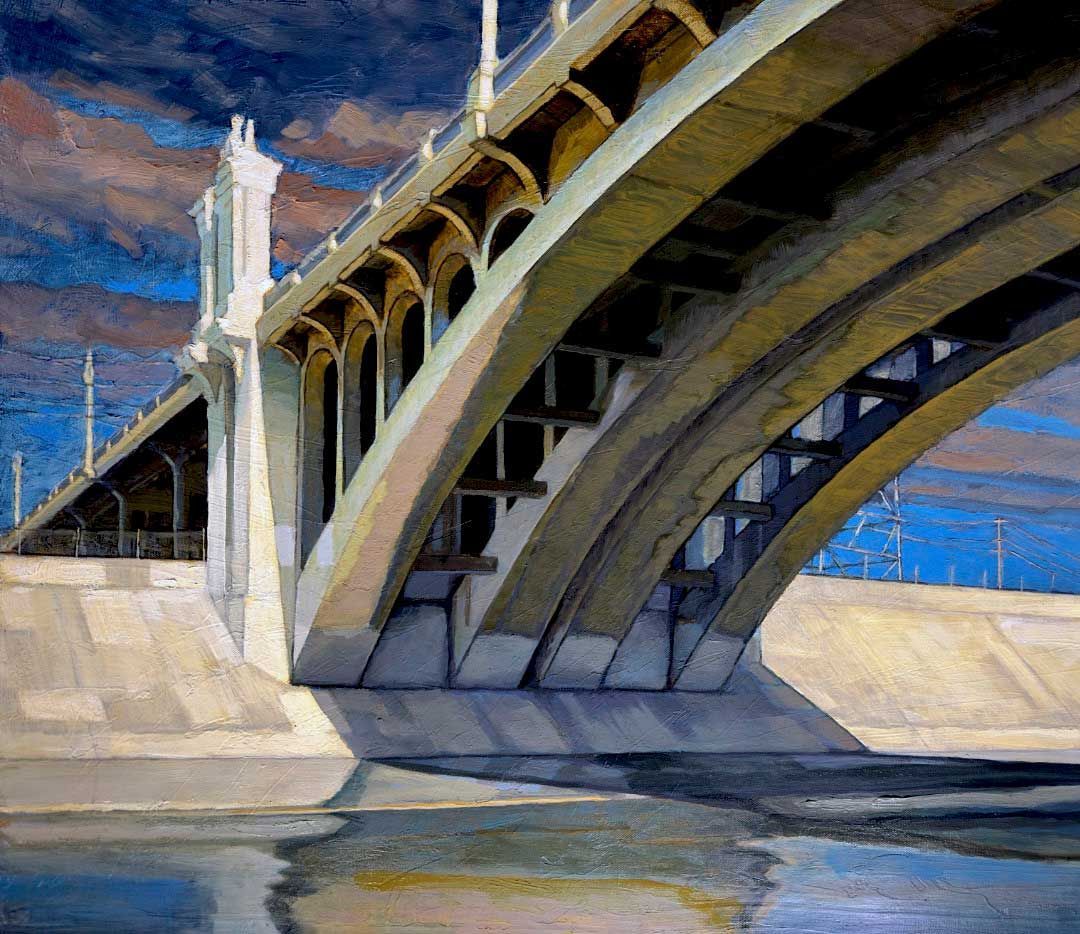
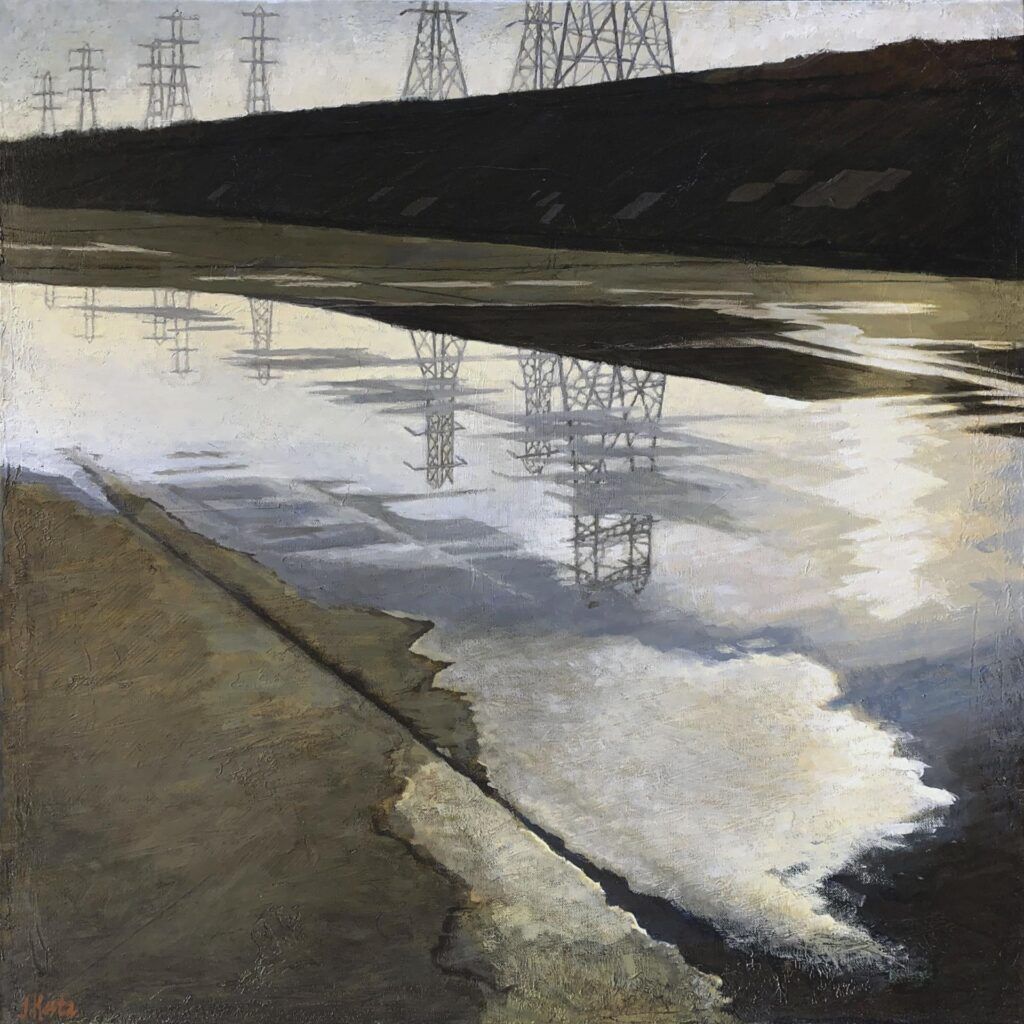
The flood marked the end of the river being a river. Afterwards, the dam-building, river-righting men at the US Army Corps of Engineers began encasing the river in a deep concrete channel that would keep it from spilling out of its banks during future floods. They erected fences and put up "No Trespassing signs." It took 20 years and 3.5 million barrels of cement, according to "The Los Angeles River, Its Life, Death and Possible Rebirth," but by the end the the river had been erased, transformed from an ecosystem into a freeway for moving flood water efficiently and safely from mountains to the sea.
So When Did The River Begin To Come Back To Life?
In 1985, a writer named Lewis McAdams took a pair of wire cutters and two friends down to the river and cut a hole in the fence. According to the non-profit he founded, Friends of the Los Angeles River, "Lewis and two friends, whiskey in their blood and wire cutters in their hands, cut a hole in the surrounding chain link fence that had defined the river as an inhospitable drainage ditch. With one fell snip, MacAdams declared the L.A. River "open for the people."
McAdams began advocating for the restoration of the river, and in 1997, L.A. County produced a master plan outlining how exactly that would happen. That same year, the first stretch of bike path opened in the Elysian Valley section of the river.
But the US Army Corps of Engineers argued that the river wasn't safe for people, except in two small sections. In response, satirical writer George Wolfe and a rogue Army Corps biologist, Heather Wylie, decided to kayak the entire thing, to prove the Army Corps wrong. They set out from Canoga Park in July 2008 and reached Long Beach three days later. Former LAist photographer Tom Andrews documented the entire thing.
The crazy stunt worked: two years later, in 2010, the EPA declared the entire river to be "traditional, navigable waters," overturning the Army Corps' decision.
And in 2011, the river finally opened to kayaking, for the first time since it was put into its concrete channel
...


